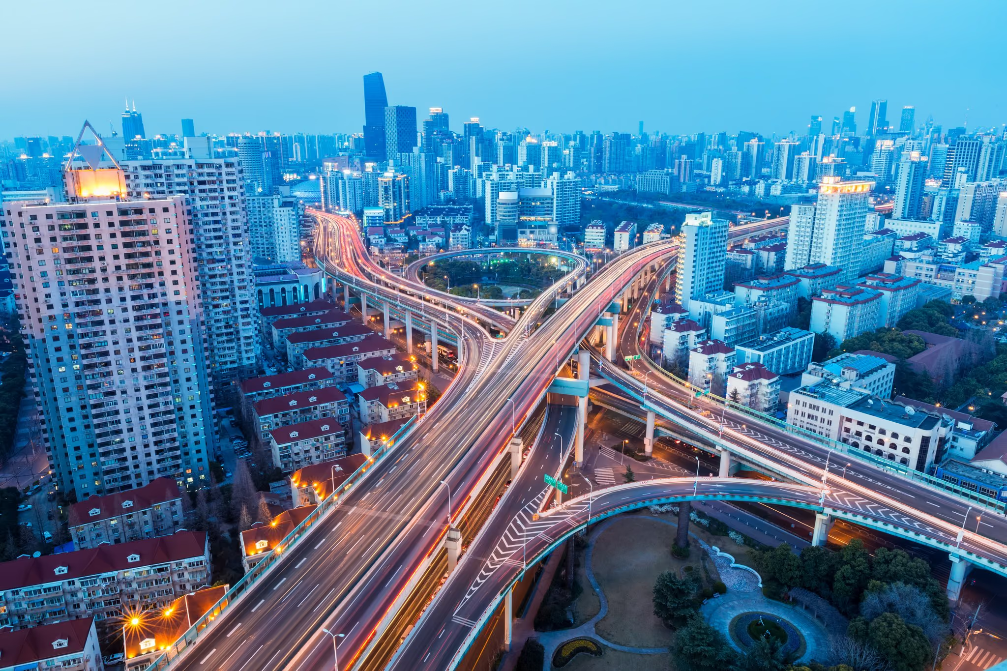
Freeways, Motorways and Tunnels
Demand modelling for major motorway, freeway, toll road and tunnel projects including the M2, M5, F3, F6 and Sydney's Eastern Distributor.
- Region
- Sydney, NSW
- Software
- Emme, Cube, TRACKS
The NSW Government commissioned a study to determine the “book-ends” — the upper and lower bounds — of a future land use and transport planning scenario. We teamed up with David Kilsby for this work, carried out within government offices using the Sydney Strategic Travel Model.
Alternative land use scenarios, road transport infrastructure, and public transport schemes were tested. The project took longer than six months because of the number of options tested.
This study updated the first and tested the more likely scenarios in greater detail. We teamed up with Kilsby Australia again and revisited the earlier modelling work. More conservative land use options and investments in road and rail infrastructure were tested, alongside a new scenario that concentrated population and employment growth in the Parramatta Road corridor and directed transport investment to that corridor.
The second study included more than 25 model runs, all of which were reported, with more than 70 key performance indicators extracted from each run. The work involved building a system to track all input files and their updates, and an automated reporting system covering the summary-of-summaries, summary, and detailed data.
Demand modelling for major motorway, freeway, toll road and tunnel projects including the M2, M5, F3, F6 and Sydney's Eastern Distributor.
Traffic impact analysis of a proposed bypass around the densely populated urban areas of Maitland, compared against Hunter Expressway impacts.
Traffic modelling of a proposed median treatment on the Sturt Highway through Wagga Wagga, testing staged closures against the 2020, 2030 and 2040 networks.
Tell us what you are trying to decide, and we will tell you whether a model is the right way to decide it.